Web GIS software
Put your maps online, as apps for your team
Load your layers, CAD and drone imagery, build map apps without code, and open them in any browser.

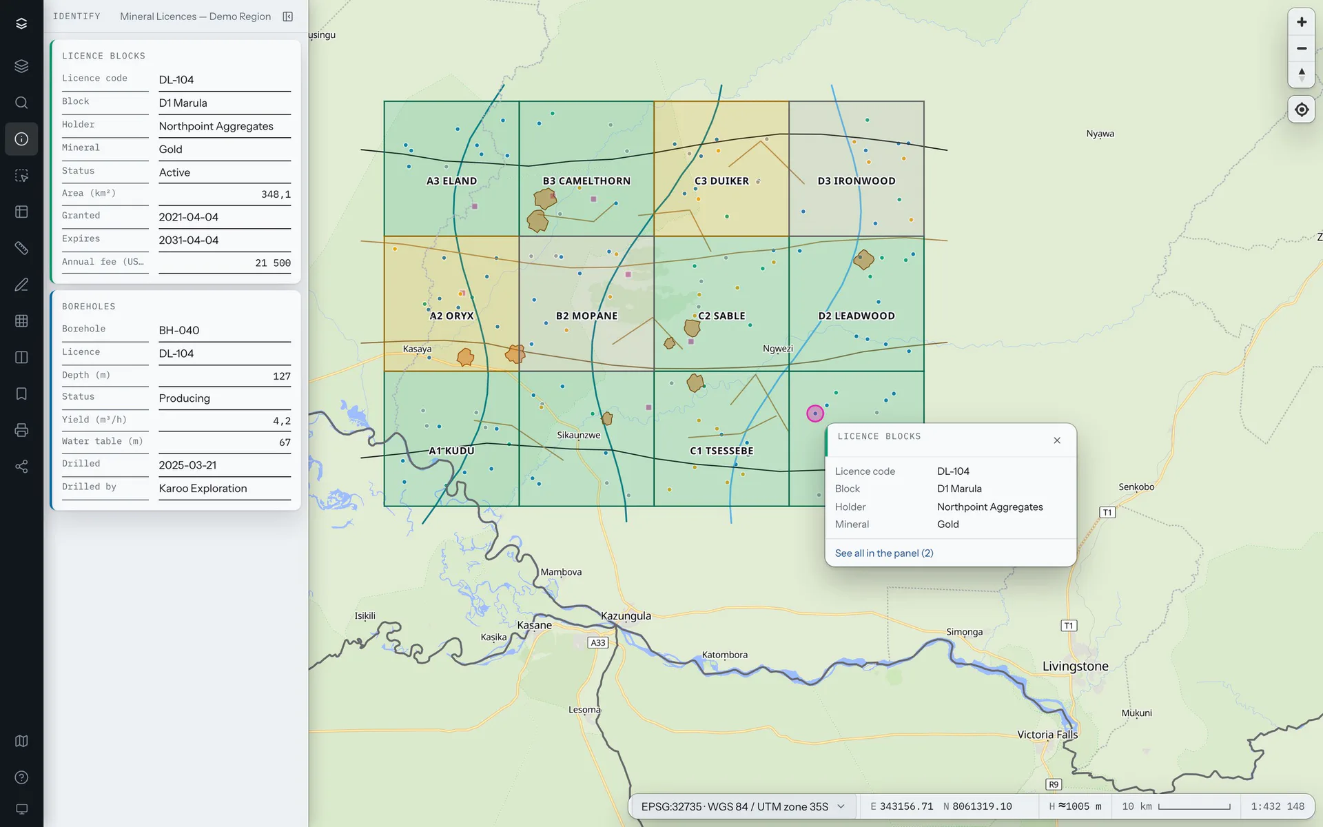
A complete map viewer, in the browser
Your layers and their legends over street, light or satellite basemaps, in the coordinate system you work in. Nothing to install.
Click the map to read what is there: every layer under the pointer, with its attributes.
Build map apps in Studio, without code
Import your files, style the layers, decide who sees what, and publish. Each app has its own address.
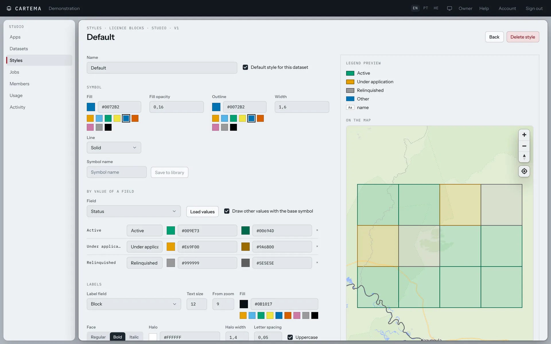
Styles by value
Colour a layer by any field, add labels with halos, and watch the legend follow.
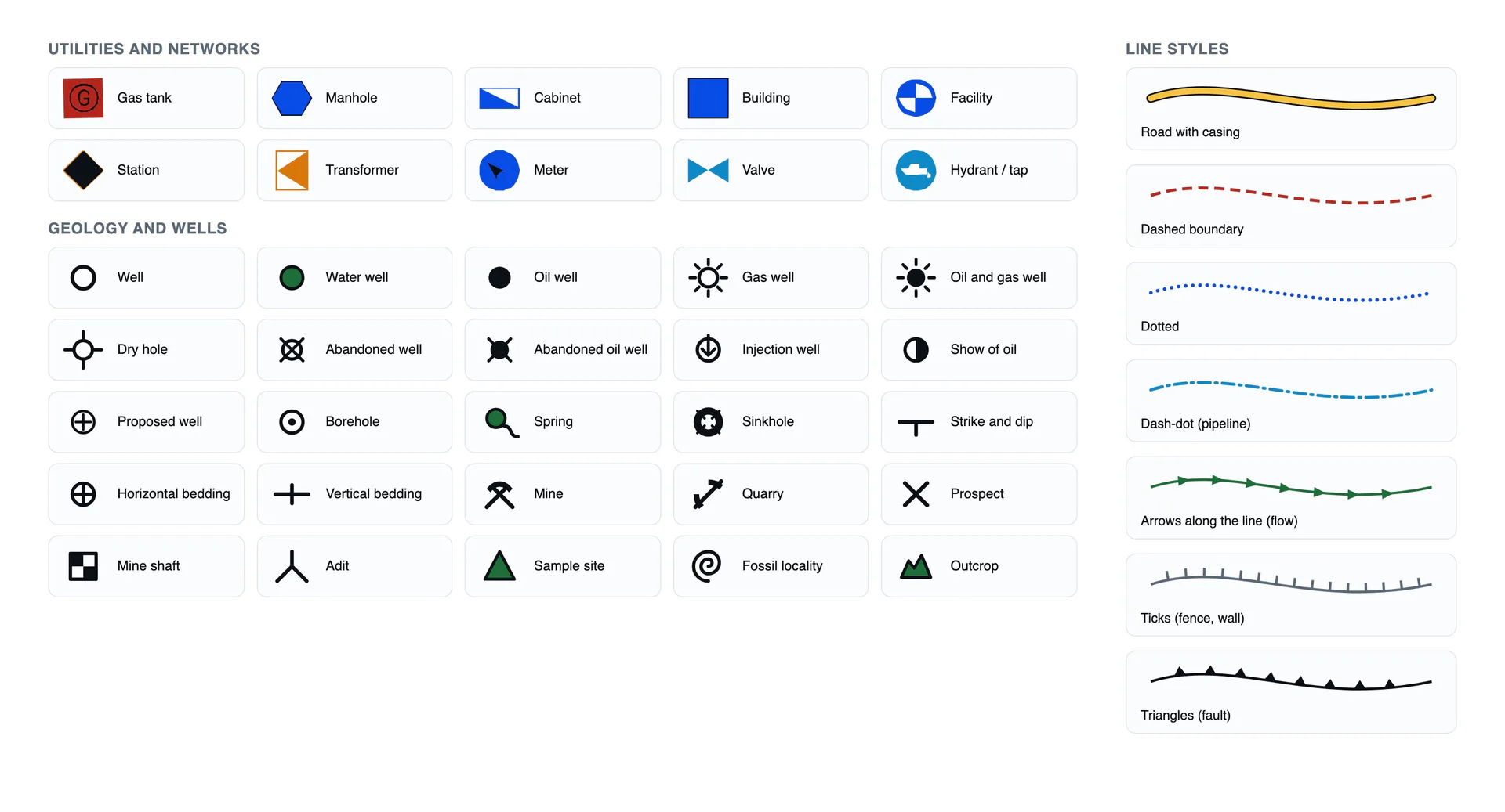
A symbol library
Symbols for utilities, wells and geology, and line styles for pipes, fences and faults.
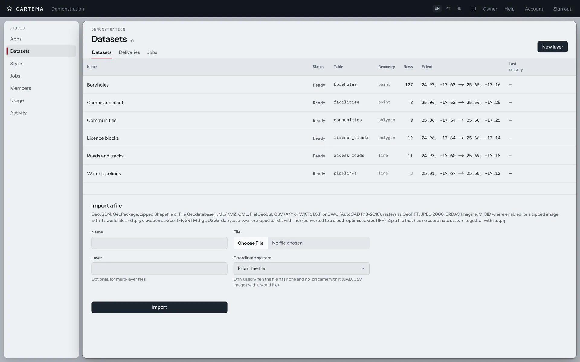
Your files, as they are
GeoJSON, GeoPackage, Shapefile, KML, DXF and DWG, CSV and GeoTIFF.
People and roles
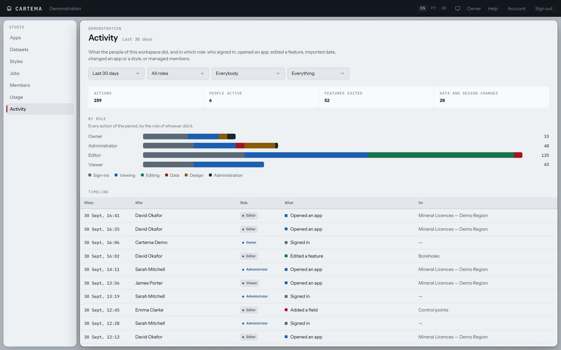
Viewers, editors and administrators. Editing is switched on app by app.
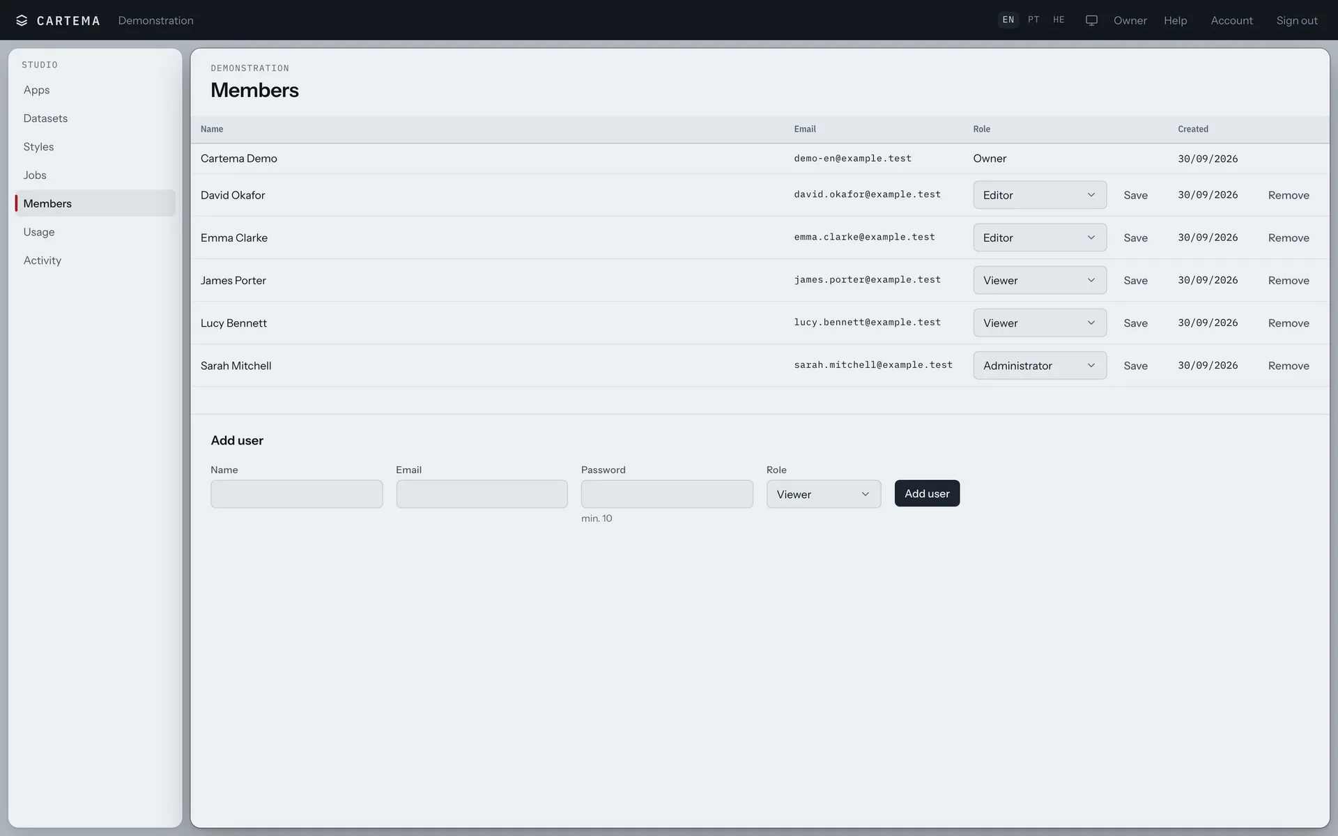
Activity
Who opened which app, and who changed what, by role and by day.
AI assistant
Ask Buddy. Check the preview. Confirm.
Buddy answers questions and shows you where things are. Buddy Pro does the work on your data: every change is shown first, waits for your Confirm, and can be undone.
Recorded in Cartema, on demonstration data.
Drone photos in, an orthophoto out
Draw the area and choose the drone and the height: Cartema splits it into flights. Upload the photos, and the orthophoto comes back as a layer on your map.
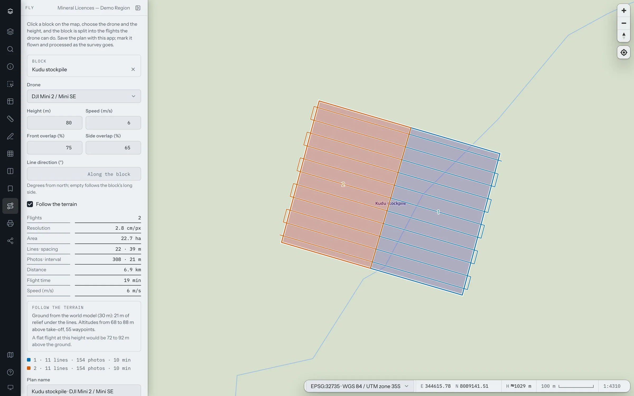
- Flights follow the ground
- Heights come from a terrain model, so the photos keep their detail over hills.
- Plans for the drone
- Each flight for the drone's own app, or the whole plan as KML.
- Included every month
- From 200 to 3,000 drone photos processed, by plan.
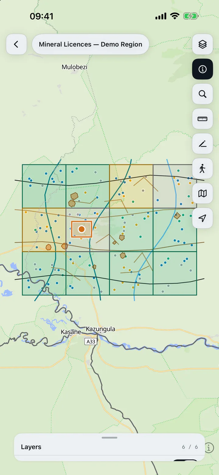
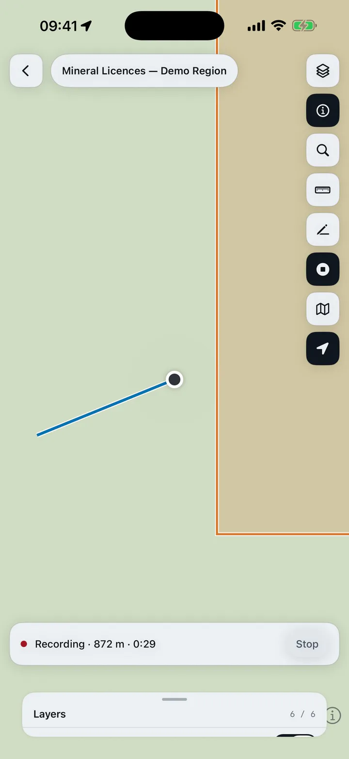
On site, on your phone
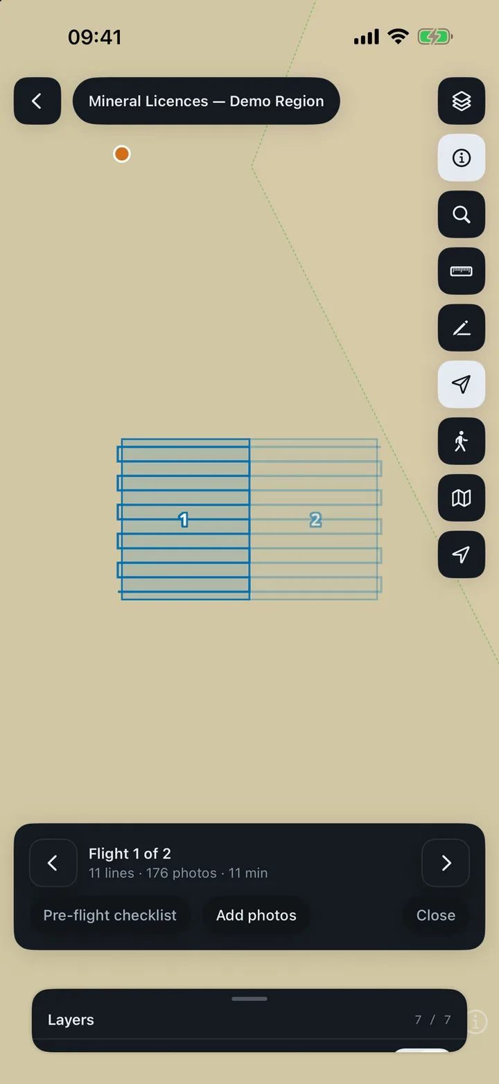
Open your apps in the phone's browser and find where you stand. Identify, measure and draw where the work is.
Cartema for iPhone adds recording the path you walk, saved as a drawing on the map. It is in testing now.
Your data stays yours
- Hosted in Germany
- Cartema runs on our own server in Falkenstein, in the European Union.
- Not sold, not used to train AI
- We use your data only to run Cartema for you. It belongs to you.
- Kept apart by workspace
- Each workspace's data is separated in the database itself, not only by the application.
- Backed up every night
- To a separate location, with the off-site copy encrypted. Every connection is encrypted too.
Pricing
Start free. Pay as your team grows.
Four plans for people and teams, billed monthly or yearly. Organisations have plans of their own.
Yearly: two months free
Free
One app, to see how it works.
$0forever
No card needed
Start free- 1 map app
- 1 GB storage
- Buddy assistant: 2 M tokens a month
- View-only share links
Starter
For one person or a small crew.
$12a month
Billed monthly
Start free trial- 5 map apps
- 25 GB storage
- 3 people
- 200 drone photos processed a month
- Buddy: 10 M tokens a month
- Buddy Pro: 1 M tokens to try
Plus
RecommendedFor a team that maps every week.
$29a month
Billed monthly
Start free trial- 20 map apps
- 100 GB storage
- 10 people
- 1,000 drone photos processed a month
- Buddy: 30 M tokens a month
- Buddy Pro: 5 M tokens included
Pro
For larger teams and a lot of imagery.
$79a month
Billed monthly
Start free trial- 50 map apps
- 500 GB storage
- 25 people
- 3,000 drone photos processed a month
- Buddy: 60 M tokens a month
- Buddy Pro: 20 M tokens a month
Add to any paid plan
Billed monthly with the plan.
- +50 GB storage
- $5 /month
- +250 GB storage
- $20 /month
- +1 TB storage
- $60 /month
- Extra person
- $3 /month
Every paid plan starts with a 14-day free trial, with no card needed. Prices in US dollars; taxes are calculated at checkout.
Online orders of Cartema's personal plans are processed by our online reseller Paddle.com, which is the Merchant of Record for all such orders. Paddle provides all customer service inquiries related to payments and handles returns.
For organisations
More editors and view-only users, an optional server of your own, and payment by invoice under an agreement with your organisation.
Organisation plans are not sold through Paddle: they are invoiced by M.D.V.I.A., LLC under an agreement with your organisation.
Questions
Is there a free trial?
Who takes the payment?
Can I cancel at any time?
Where is my data kept?
Which files can I load?
Does it work on a phone?
We are an organisation. What are our options?
Try Cartema on your own data
Questions first? Write to info@mdvia.am